Maps and Political Manipulation: Distorted Realities
Maps are not mere representations of geography; they are instruments that can distort reality to serve political agendas. This curation unveils how maps can mislead, manipulate perceptions, and influence democratic processes.
- ReadMap · Wikipedia
Defines maps as two-dimensional representations that can incorporate various thematic information, highlighting the decisions cartographers make.
- ReadMessing With Texans · Inside Higher Ed
Examines the implications of gerrymandering, illustrating how electoral districts are manipulated to favor certain political outcomes.
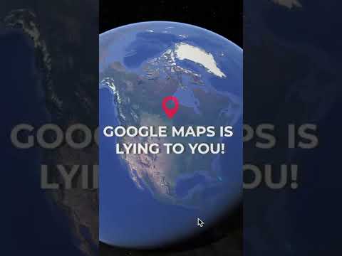
- WatchAll Maps Lie! The Mercator Projection, The Most Commonly Looked at Map In The World, isn't So Right. · YouTube
Illustrates the distortions created by the Mercator projection, emphasizing how flat maps misrepresent the size and importance of geographical areas.
- BookHow to Lie with Maps · Bookshop.org
Analyzes the various ways maps can be manipulated, providing examples of distortions from zoning disputes to census data, emphasizing the need for skepticism.


Each selected piece illustrates a different facet of how maps can misrepresent reality, whether through technical design choices or intentional political manipulation. Together, they reveal the complex interplay between cartography and power, highlighting the importance of critical engagement with maps.