How plate tectonics shapes subduction zones
Plate tectonics is the scientific theory that Earth's lithosphere consists of large plates that have moved slowly for billions of years, with their relative motion shaping the boundaries where they meet. The lessons answer how plate motion works and what processes accompany it. They connect the forces moving plates with the patterns and activity found at their boundaries.
3 articles, 1 video, 1 book · about 1 hr 15 min of reading and viewing
The reading path
- Readplate tectonics · Wikipedia · 60+ min read
Plate tectonics includes two types of subduction: ocean-to-continent, where dense oceanic lithosphere plunges beneath less dense continent, and ocean-to-ocean, where older, cooler, denser oceanic crust slips beneath less dense oceanic crust. Water released from the subducting slab lowers the melting point of mantle material above it, causing it to melt into magma that typically leads to volcanism. In plate tectonics, mapped ocean-floor magnetic patterns showed adjoining stripes of normally and reversely polarized rock. As newly formed rock cools, its magnetic materials record Earth's magnetic field at the time. Plate tectonics, according to a hypothesis proposed by Robert Stern and Taras Gerya, are necessary for a planet to sustain complex life because they help regulate the carbon cycle.
- ReadEarth is tearing apart beneath the Pacific Northwest · ScienceDaily · 6 min read
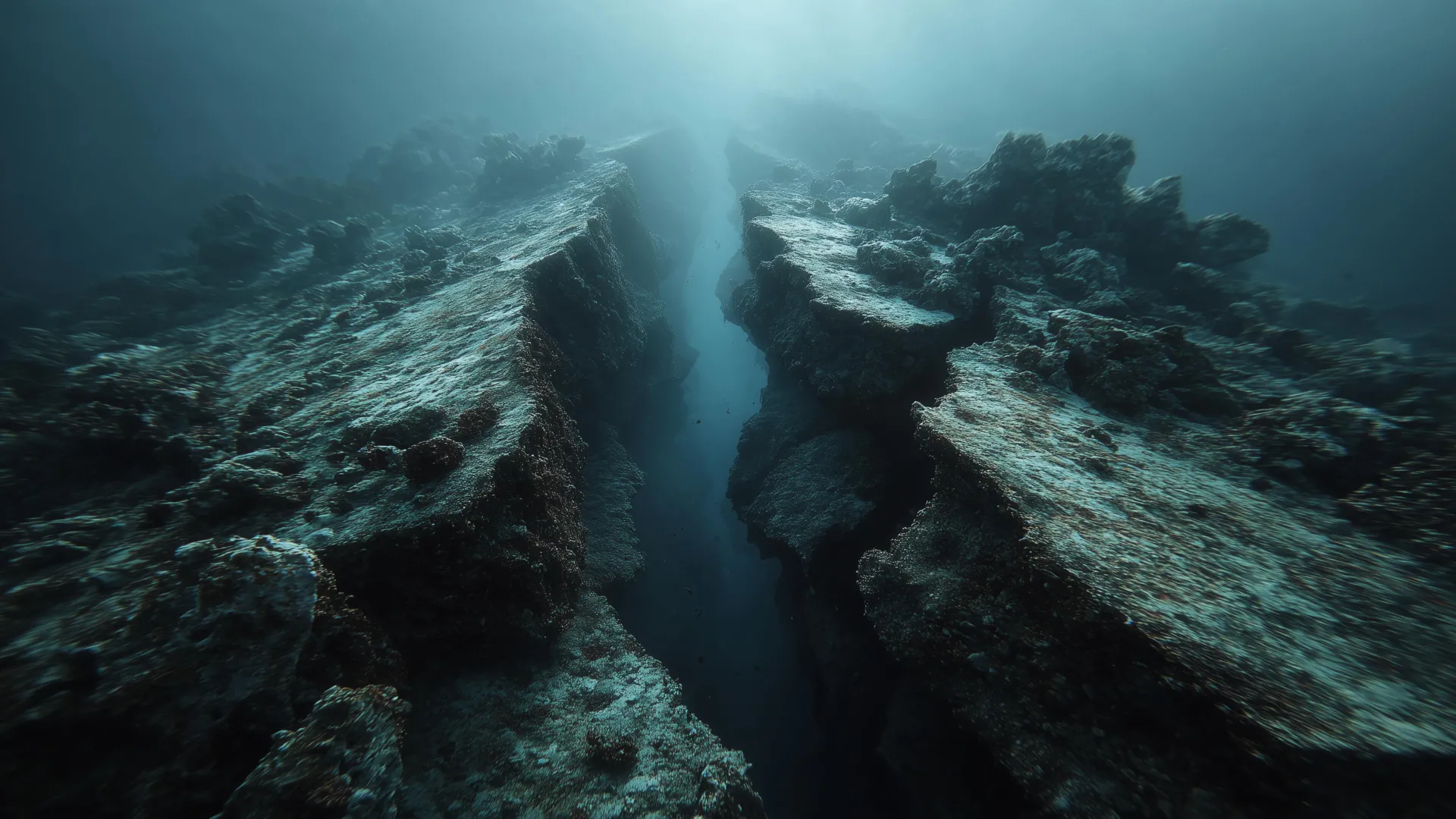
The oceanic plate beneath the Pacific Northwest has an enormous offset where part of the slab has dropped by roughly five kilometers, a fault researchers say is actively breaking the plate as the subduction zone comes apart. Shuck explained: "There's a very large fault that's actively breaking the plate."
- ReadUndersea Data Tie Slow Fault Slip to Tsunami-Causing Quakes - Eos · Eos · 4 min read
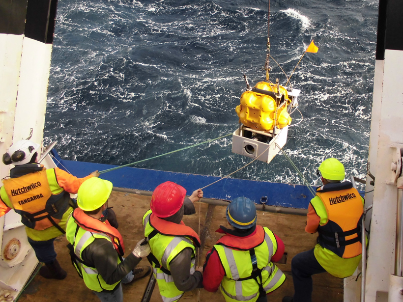
In plate tectonics, the newly revealed slow-slip rupture occurred in the same shallow part of the subduction zone where the 1947 tsunami-generating earthquakes originated. If the slip had happened suddenly rather than over 2 weeks, researchers report, it would have been a magnitude 6.8 earthquake.
- WatchIntroduction to plate tectonics | Middle school Earth and space science | Khan Academy · YouTube · 5 min watch
Earth's lithosphere is broken up into tectonic plates that move slowly over time. Its three types of plate boundary are convergent, divergent and transform.
- BookThe Map That Changed the World · Bookshop.org
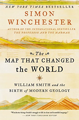
The Map That Changed the World by Simon Winchester describes how coal mining and canal construction stimulated geological study, and how Smith's map traced rock and soil along canal routes.

Book links are Bookshop.org affiliate links. Curiate may earn a commission on purchases, at no extra cost to you — Bookshop.org also gives a share to independent bookshops.
Reading paths, built to arrive somewhere
Curiate turns what you are curious about into a short path — a quick lesson on an article, something to watch, and a book to go deep on. Free to browse.